We have a very fine set of General Membership meetings planned for 2018. Here is the list of the planned programs for these meetings for the first-half of the year.
Date
Topic
Presenter
January 2
Show and Tell
You! Bring your most interesting stuff to amaze your friends.
We have a good start on plans for the second-half of the year as well. If you have not already done so, please complete our survey to tell us what you’d like to see for this year’s Tech Nights. (I’ll publish the plans for Tech Night separately.)
As we just held our annual officer elections, I’d like to thank the departing officers for their service to the club. Departing the Executive committee are:
Our Executive Committee members have worked hard to move the Nashua Area Radio Society forward this past year. Some of our major progress in 2017 includes:
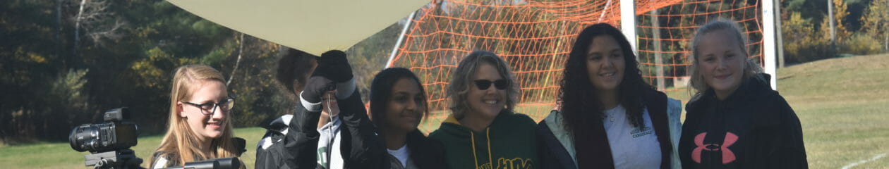
We increased our Youth Engagement through many activities and initiatives for young people including working with students from local schools to launch two High Altitude Balloons.
We helped 28 new Amateurs into the hobby through our Technician license classes and we helped 20 Amateurs earn General and/or Extra upgrades as part of our license classes in the Spring and Fall.
Is the 20-meter band open to the location of the latest DXpedition on the bands? When is 6 meters open for Sporadic E? Looking for a weak signal 2-meter contact with a specific grid square? There are websites you can visit that give you a prediction of whether the band you are on is open to a given destination.
HF Propagation
N0NBH Propagation Widget
The simplest HF propagation prediction is the widget that is seen on many Amateur Radio Websites – QRZ.com,DXSummit.fi, and more. This gives you a rough idea of what bands are open day and night. Data is based on the Sunspot Number, A and K indices, and other indices. But this doesn’t take into account many factors like your location, the DX location, the characteristics of your station, and the DX station. Just because 15m says Poordoesn’t mean you won’t hear anything on the band.
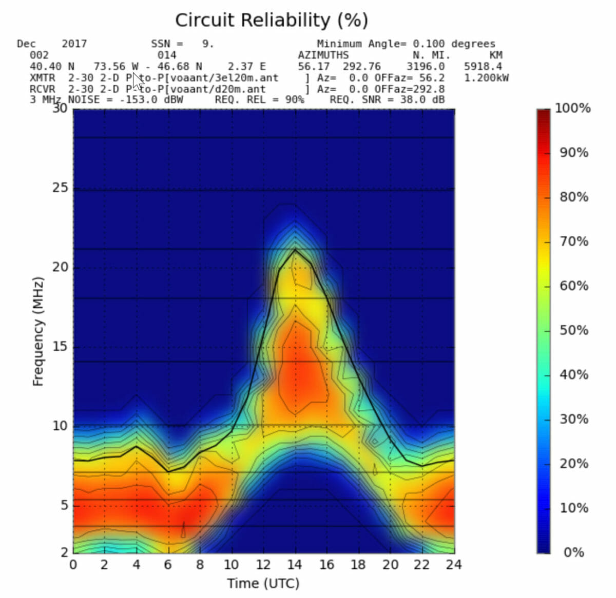
VOACAP – HF Propagation Prediction
VOACAP Point to Point Prediction
VOACAP is the Voice of America Coverage Analysis Program and provides detailed information about HF propagation. You can choose transmitter and receiver locations from many cities around the world. It also provides choices of Antennas, Power, Mode, and more for each end of the contact. You can look at several different views of propagation. If you spend some time delving into the details of propagation visit this site.
VOACAP prediction from DXSummit.fi
For a faster view of whether you will be able to contact a specific DX Station that is currently on the air, the DXSummit.fi spotting website has incorporated propagation predictions on their website. If you find a DX station spotted there that you contact, just right-click on the DX callsign and select VOACAP from the drop-down. You just need to choose whether you are a Basic (100 watts and a Wire) or a Superstation (Amplifier and Directional Antenna). You can also look at views of Short Path or Long Path. It will give you a good view of when you need to be on which band to contact the DX station.
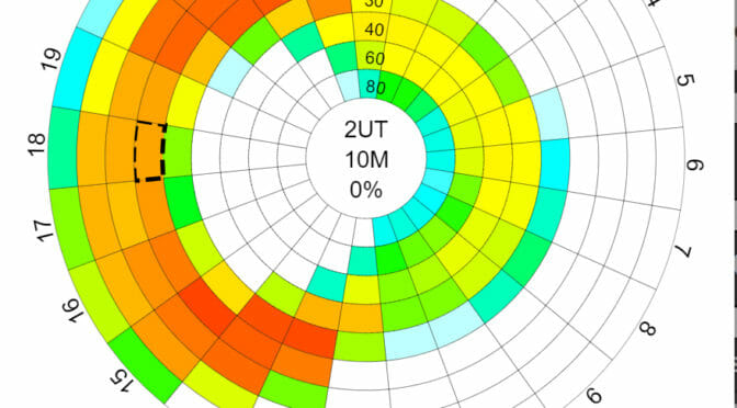
6 Meters – The Magic Band
DXMaps – 6 Meter Openings
The best website that I have found for 6 meters is DXMaps.com. It provides a map view of the world or you can select a continent. Based on spotting network data, it shows 6-meter contacts and color codes them by Sporadic-E, Multihop ES, Meteor Scatter, etc… even Aurora. You can also get a view of 10 meters, 2 meters, or 70 cm. If you sign up for a free account, you can subscribe to real-time notifications when there is an opening near you.
2 Meter Propagation
VHF Propagation Map
Looking for a tropo opening for a weak signal 2-meter contact? Visit the website http://aprs.mountainlake.k12.mn.us/ to see a VHF Propagation map. This shows tropo openings as color-coded clouds – with brighter colors for the longer openings. This is based on APRS data.
These are the websites that I like to visit to understand the propagation forecast for the day. If your favorite site is not on the list, add a comment so the rest of our readers can check it out.
Anita, AB1QB
Radio Amateurs Developing Skills Worldwide
We use cookies to ensure that we give you the best experience on our website. If you continue to use this site we will assume that you are happy with it.