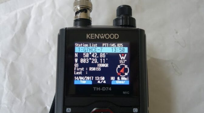
Similar to the AO-7 satellite resurrection several years ago, the Amateur Radio on the International Space Station (ARISS) packet radio system on the International Space Station (ISS) has begun working again. NASA ISS Ham Radio Project Engineer Kenneth Ransom, N5VHO, said over the weekend that reports he’d received indicated that the NA1SS packet signal returned in mid-August.
Source: An Amazing Recovery: ARISS Packet System Revives
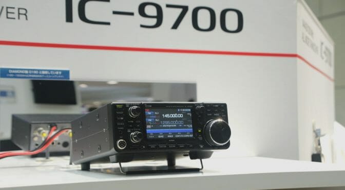
Icom displayed three working demonstration units of the forthcoming IC-9700 VHF/UHF/1.2GHz transceiver, Icom Inc. at the Tokyo Hamfair, which took place in Ariake, Tokyo on August 25th – 26th.
Source: New Icom Amateur Products Shown at Tokyo Hamfair 2018
The IC-9700 is a new VHF/UHF radio that is based upon the Software Defined Radio (SDR) platform that Icom uses in the IC-7300 and IC-7610.
It looks like this is going to be an excellent radio for Satellite, EME, and other weak-signal work on the 2 m, 70 cm, and 23 cm bands. The IC-9700 features a pan adapter display which will be very useful for working contacts through linear satellites.
Based upon previous new Transceivers release by Icom, I would guess we are at least 8 months to a year away from the time when this radio will be offered for sale in the USA.
Here’s some video of the forthcoming IC-9700 as well as other gear from Icom. The video also features other new products and updated Firmware capabilities from Icom. Enjoy!
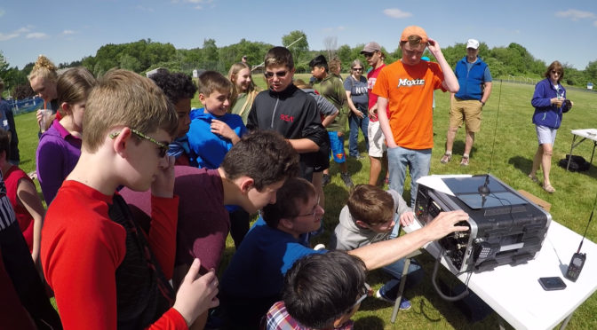
The Nashua Area Radio Society has created many projects designed to provide STEM learning experiences and training through Amateur Radio. Some of these projects include:
Emergency Communications Training through our Field Day and other activities
Supporting Local Schools with ARISS Crew Contacts and other Amateur Radio activities
To carry out our mission, we have formed close relationships with several local schools. This helps us develop and deliver effective, high-quality programs that bring learning through Amateur Radio to young people.
Over the course of the past year, I have found myself the benefactor of the most amazing partnership with the Nashua Area Radio Society. … thanks to the knowledge and generosity of the club members who have dedicated their time to helping others come to know and understand the radio sciences. I have found what makes this dedication even more valuable is the clubs growing outreach to the schools and students of Southern New Hampshire.
You can read more about our partnership with Dan and his school here.
We provide many of these services either free of charge or at a very modest cost. We count on the generosity of our members, friends, and the Amateur Radio community to raise funds to support our work.
We have begun a fundraising campaign to enable us to continue and expand our training projects listed above which provide STEM learning experiences for young people and support for emergency communications readiness. Please consider supporting our work via your GoFundMe donation.
Copy embed code
We are also now on Amazon Smile. Please consider supporting our projects by using Amazon Smile and designating us as your favorite charity there. Click on the badge below to get started supporting our work via Amazon Smile.
It’s easy to help the Nashua Area Radio Society as you shop on Amazon. Here’s a simple set of directions to help you get going.
Getting Started Supporting NARS on Amazon Smile
On behalf of the many young people and others that we help, thank you very much for your generosity. With your support, we will continue to work hard to provide learning opportunities for young people through Amateur Radio and to continue to make the Amateur Radio Service the best it can be to benefit everyone.
We use cookies to ensure that we give you the best experience on our website. If you continue to use this site we will assume that you are happy with it.