-
Came across an online tool that takes a region from Google Maps and spits out a 3D Topo file (.STL) for 3D printers. There is an article about it HERE.
There are other ways to generate this, and I can look at them later (just because I am curious) and try them out. But thought I’d pass this along as a neat find for 3D printing.
I’ll run this tool for our field day site and see what comes out.
[caption id="attachment_1726" align="alignnone" width="384"]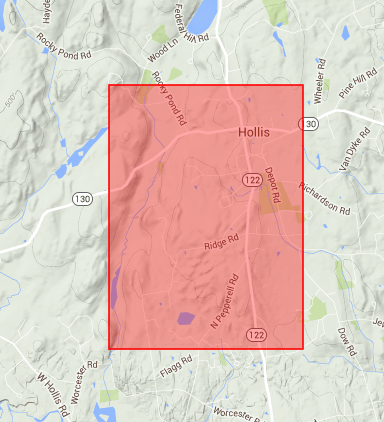 Nashua Area Radio Club Field Day Site[/caption]
[caption id="attachment_1725" align="alignnone" width="474"]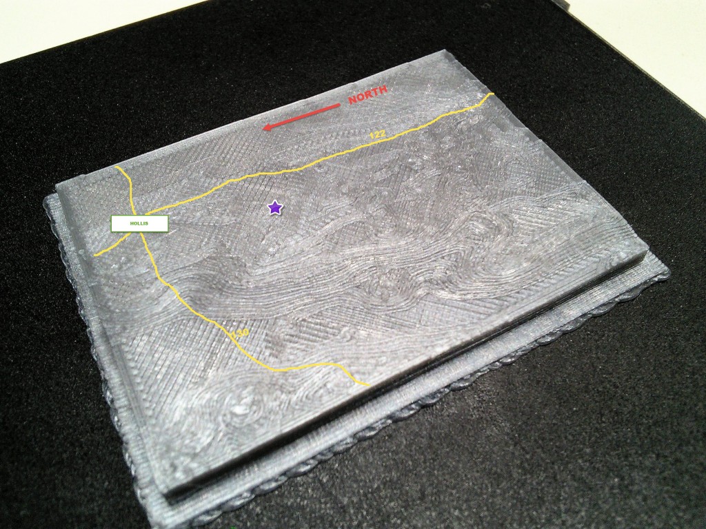 Field Day Site – 3D Print[/caption]
I had a failed print on a small scale sample. I’m up-scaling it, and so far, it looks like it is printing OK. Will post and new updates.
Attachments:
You must be
logged in to view attached files.
I think it would be neat if you could make a 3D model of First Church. We could present it at an awards night to thank them for hosting the Club all these years.
I can print something like that, if a model exists or someone can make a model. I am not versed in 3D CAD modeling “yet”. Depending on the detail, there would be a learning curve for me to create a model from scratch and there is the matter of having time. BUT, like I mentioned, I would be more than happy to print it out, if a 3D sketchup or model exists.
- You must be logged in to reply to this topic.
Radio Amateurs Developing Skills Worldwide
 .
.